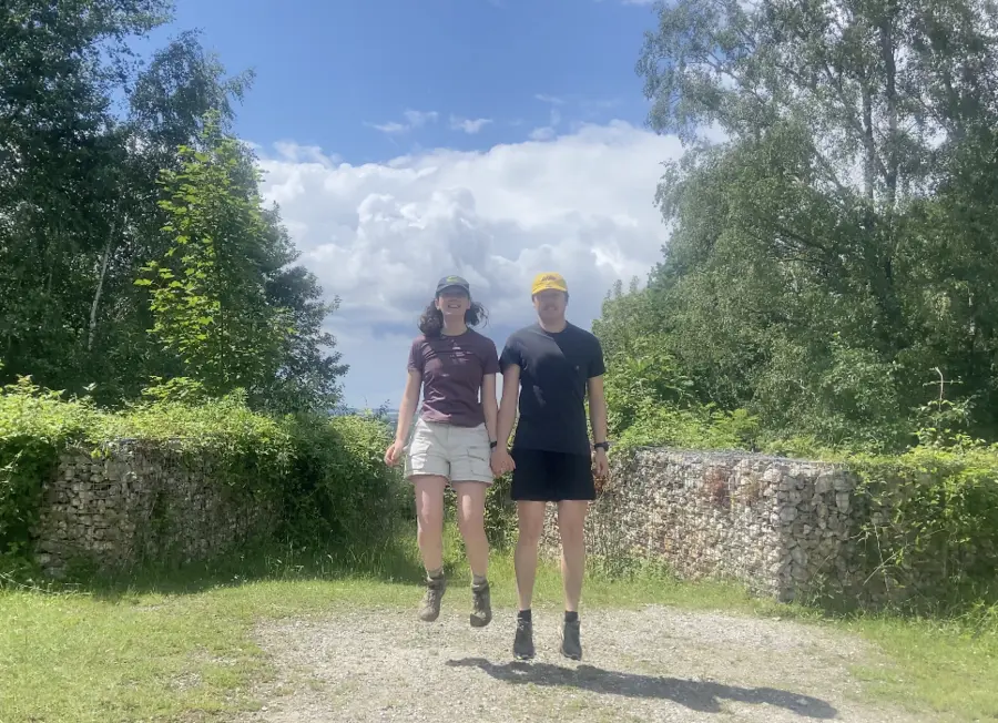
Yes, that is the official name. The Dutch Mountain Trail is a 100KM long trail in the most Southern region of the Netherlands — Zuid Limburg. This region is the only place in the Netherlands that can lay claim to the term ‘undulating’, and as cherry on the top (quite literally) it also houses the highest point of continental Netherlands (Vaalserberg, 322,40m).
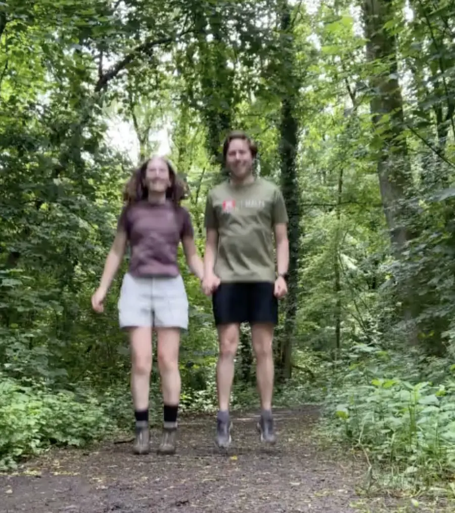
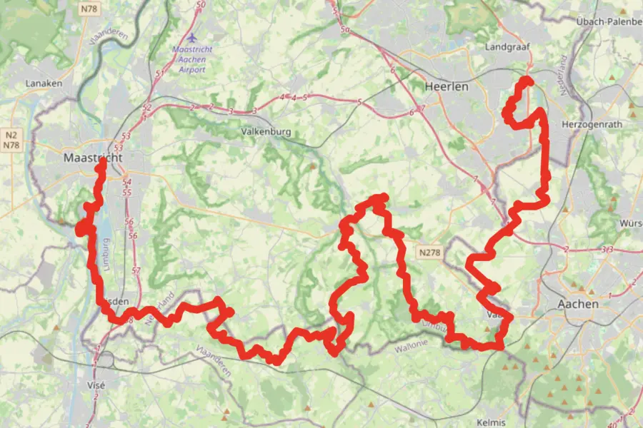 We ended up hiking 119KM, 2723m elevation in four days
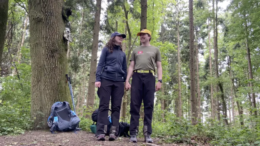
In an attempt to show B. that the Netherlands surely isn’t all that boring in terms of nature, we traveled down South by train to Eygelshoven. We arrived at this tiny single railroad station and immediately started our hike.
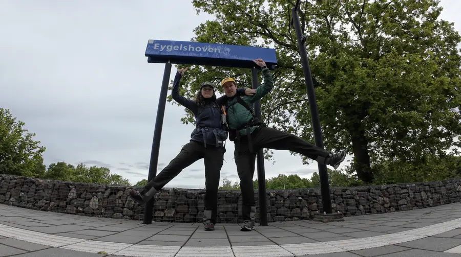 At the starting point at the platform in Eygelshoven
Day 1 - Eygelshoven to Vaals - 29K
- Distance: 29KM
- Elevation: 567m
The start of the hike was fabulous. The weather was good and we were in good spirits, which gave us a false sense of security for the rest of the days. Fairly early on the trail, we were greeted by our first summit: the Willhelminaberg (225 m). This bulbous extremity of land seems unnaturally steep for the region and that’s because it is in fact unnatural. This artificial hill made out of rubbish from the old Wilhelmina coal mine.
Currently the hill is covered with two things: lovely green flora and an big indoor ski-slope. Nobody will be surprised to learn that the only skiing that you can do in the Netherlands is in an indoor ski hall. But the fact that the hall is built on top of an artificial mountain doubles down on the notion that the Netherlands is carefully planned out country, ridden of any spontaneous nature.
 At the top of the Wilhelminaberg (225m)
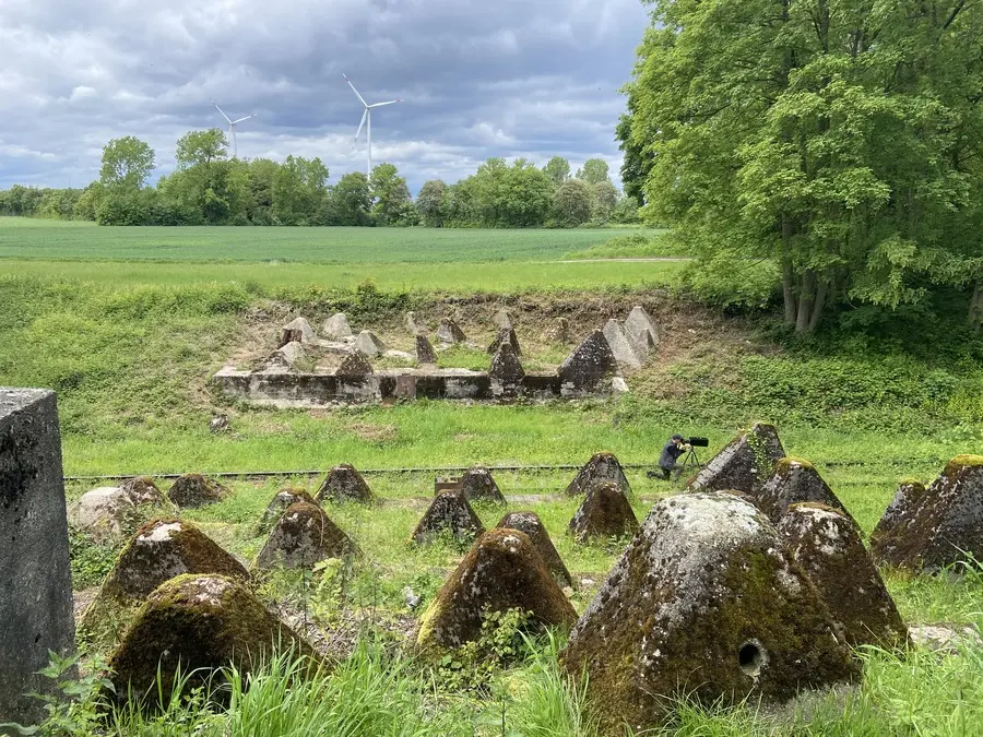
Even though this notion of planning and nature might be correct, the route setters of the Dutch Mountain Trail have done a good job at making you feel like you are constantly surrounded by nature. Only sometimes we were taken out of this illusion, for example when we popped out of forrest and were met by the Kerkrade Central Station.
‘Why is this train station in the middle of a forrest?’ was the wrong question to ask.
The correct question was: ‘How did we not notice that we were walking between all of these buildings?’
 The illusion of nature on the map of Zuid Limburg
The rest of the day was pretty nice, we went into Germany, crossed the old Nazi defence line (Siegfriedlinie), and we had an old God-fearing lady fill up our water bottles.
 Passing the German defence line side by side with an English girl, beautiful.
Our pace was good and we had minimal rain. B. was questioning her snack purchases, as she was not completely happy with her gummies and creamy knäckebröd. This impacted her joy and stride, which was a good reflection point: only bring tastebud-approved snacks.
Personally I was happy with my selection of Snicker bars and salted cashews. I don’t tend to experiment much with my snack selection.
Towards the end of the day we arrived at our second summit of the route, the Schneeberg (257m). This peak is located in Germany, which surprised us, since the trail is called the Dutch Mountain Trail.
Maybe the organisation was struggling to find a sufficient amount of humps in the terrain in the Netherlands, or perhaps they secured some sort of European inter-national-regional cooperation funding that obliged them include some hills of our neighbours.
 At the summit of the Schneeberg (257m)
From the top of the hill, it was only a matter of going down hill and crossing a stream and we’d be on our campsite.
We were tired and the decline was steep and slippery, but we made it in one piece to our accommodation. After we pitched our tent, it started to rain, so we cooked our dinner in the drizzle.
Whilst laying in the tent, recovering from the 29KM hike, I received a bad news message. This meant that we had to go back home and abort the hike, but we were adamant that we would return soon.
Day 2 - Vaals to Gulpen - 33K
- Distance: 33KM
- Elevation: 799m
Two weeks after we received the bad news, we returned to finish the hike. We traveled down South on a Tuesday, so we could pitch our tent at the same campsite where we finished day 1. This meant we could wake up early and hit the trail as soon as possible.
Unfortunately, it rained all night long. The rain was so loud, I had to pop my ear plugs in. In the morning, it was still raining, so we had to pack up camp at record speed. We shoved everything in our backpacks and ran to the common room to repack our backpacks a bit more strategically.
In the common room we ran into some fellow hikers who had the same idea. Everyone was gathering here to wait out the rain. We were not planning to wait that long, we simply hoisted ourself into our waterproofs and hit the trail. There is something quite nice about being the first ones to leave the campstie. You feel strong, invincible, well prepared, and somewhat superior to everyone else. All round good boy feelings.
We first made a stop at the Albert Heijn (supermarket) in Vaals before we ascended the mighty Vaalserberg. The Vaalserberg is the highest point of continental Netherlands, but for some reason it is not included as one of the Seven Summits of this route. This seemed odd to us, especially since some other summits (like the Schneeberg) were not even located within the borders of the Netherlands.
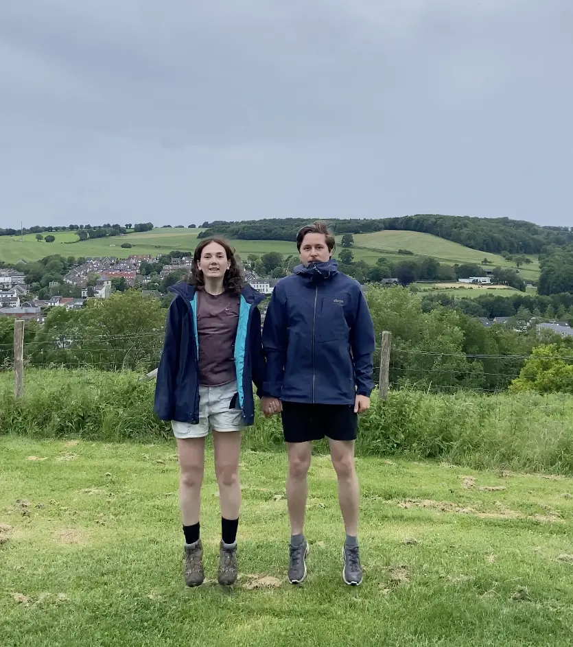
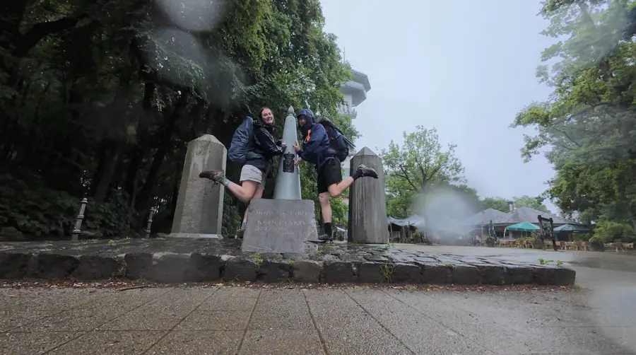 Reached the highest point of the Netherlands
The entire ascent was performed amidst heavy rain, with our hoods drawn. Already quite early during the hike, my feet got soaked. Upon closer inspection, I noticed that my waterproof Gortex Salomon Supercross 3 had a hole in them -- exactly where my little toe tried to escape. An even closer inspired revealed that the entire sole was trying to escape from the Gortex lining.
Apart from the various holes, the factor that contributed the most was the fact that these trail runners were low top shoes. So every time we walked through the high and wet grass, my socks got another fresh dose of water inserted into them.
There was nothing that could be done about that really, because even B., who was wearing high top waterproof hiking boots suffered from wet socks.
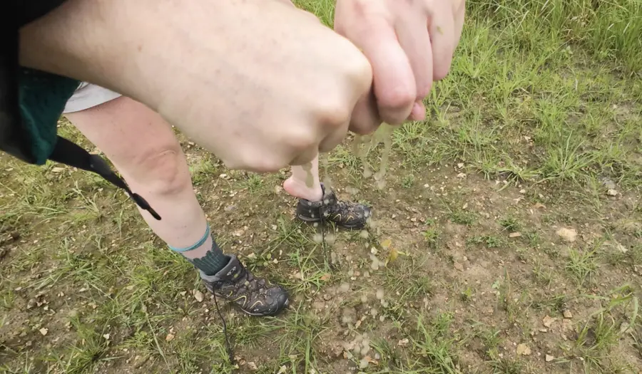 B. wringing out her wet socks.
Fortunately we had dry socks that we could swap out when the rain calmed down a bit.
 At the summit of the Eyserberg (197 m)
Halfway through this day, we picked up a lonesome hiker. It was the guy (F.) I had met at the common room on the campsite that morning.
F. was hiking on his on, with his earphones in. He told us that he was not enjoying the route so much anymore. The continuous rain, night and day, the wet tent, the wet clothes, he couldn’t see himself continuing after today. The weather forecast predicted even more rain on the following days! He said he would aim to get to Gulpen and then take a bus back home, so he could continue another time.
Little did he know that B. and mine cheerful mood and allround fantastic company would change his mind later during the day.
You see, B. and I, we love the rain. There’s something wonderful about walking through it, with total disregard of getting wet. And more than that, we love just being in nature.
Whilst hiking, we make frequent stops to inspect an interesting insect, or enjoy a beautiful vista. We love finding oddly shaped trees, or beautifully coloured leaves.
It was interesting to juxtapose this against F. notion of putting your head down, music on, and power through the route.
It reminds me of how Viktor Frankl, in his much acclaimed book Man's Search For Meaning, claims to the people who tended to survive the WWII concentration camps were the ones with the richest inner life. Not the physically strongest, or the smartest, but the ones with the most inner riches and spiritual freedom.
I think that reflected into this moment too. An even better moment occurred on day 3 of the hike, when the weather turned really sour and the thunder and lightning were barely half a second apart.
We were hiking through a hollow road, where all water had congregated and create a small stream for us to hike through. By this point my feet had been wet for nearly two days, the wrinkles stayed in my feet during the night, which cause quite a high discomfort. Despite the poor and painful state of my feet, I had tremendous joy going down this watery stream of mud and rain. I was singing my own made up songs and nimbly jumping from side to side, using my hiking sticks for balance.
B. and F. witnessed me from behind and concluded that I must’ve lost my mind.
Maybe I had.
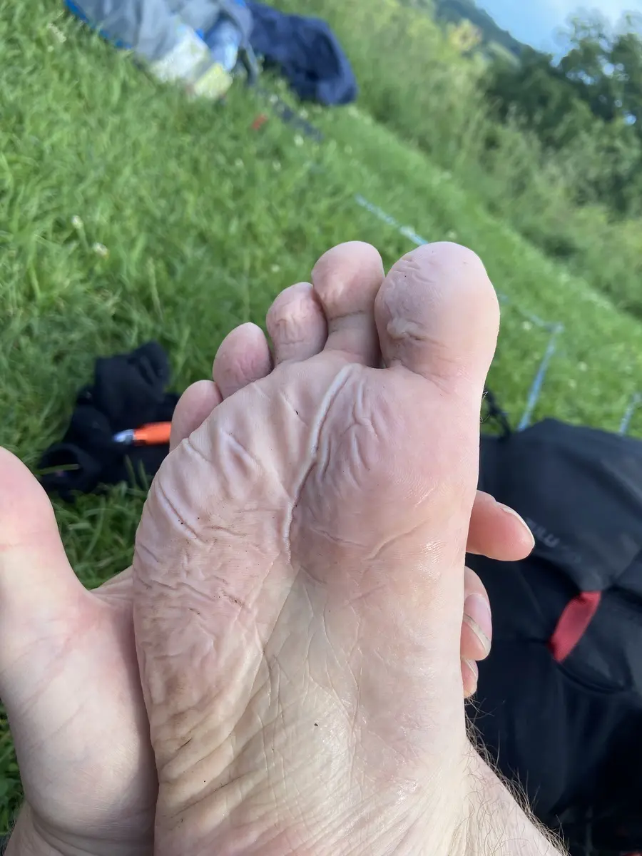 Narly wet feet
We finished the day with the ascent of the Gulperberg, after which we arrived at the campsite ready to hit the haystack.
 At the summit of the Gulperberg
Day 3 - Gulpen to Mheer - 29K
- Distance: 29KM
- Elevation: 761m
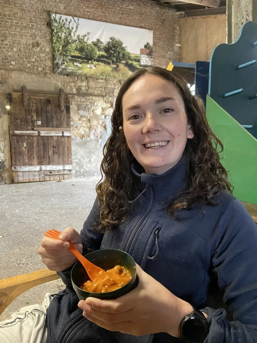
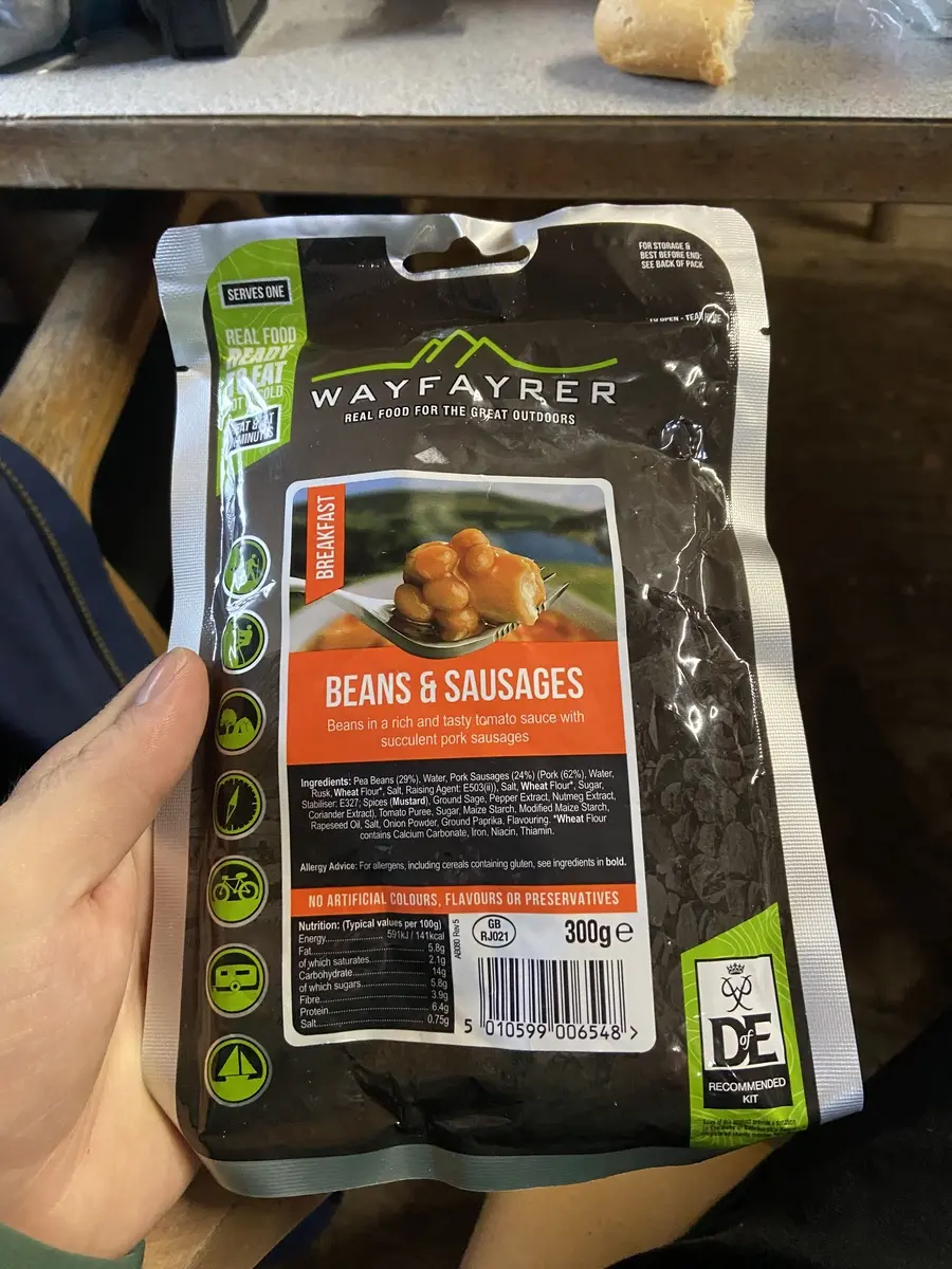
The night was rainy and windy, but the morning was dry. This meant we could pack away the tent dry, which was nice. For breakfast, we ate the beans & sausage pack that B.'s cousins K. & M. had kindly donated to us last year. A fantastic way to start the day.
The route of day three started wonderfully. We past an old quarry, beautiful half-timbered houses, and meandered through pretty forests.
But as you might’ve guessed, the weather then turned and we were caught in a heavy-heavy thunderstorm. There was hail, loud rumbles, and clear white lightning that set the sky ablaze. We were counting the seconds between sound and sight, which eventually turned into portions of a second, until the lightning was right above and the thunder made our eardrums vibrate violently.
We took refuge in a small bit of woodlands, which didn’t feel ideal, but it was better than the alternative, which was the open field. After the storm had passed, and only rain remained, we continued to plot along.
This is when my mood was taken for madness, while I was frolicking through streams of water.
 At the summit of the Hakkenberg (252 m)
 At the summit of the Kattenroth (209 m)
The final push brought us to the last campsite of this trip. Upon checking my feet I was pleased to note that the semi permanent blister wrinkles of my trench feet had not turned into open wounds as they had done on last year’s Snowdonia hike.
Less favourable was the descent we had to perform on the campsite to reach the field for backpackers. For some reason this was located at the furthest point from the reception, at the bottom of the hill. Very unpleasant surprise at the end of a long day of hiking.
Fortunately, these moments of disarray quickly subsided, as we dug into our dinner. As starters, we had a block of spam, eaten straight from the tin with a spoon, topped off with kernels of corn and a sprinkle of beer nuts.
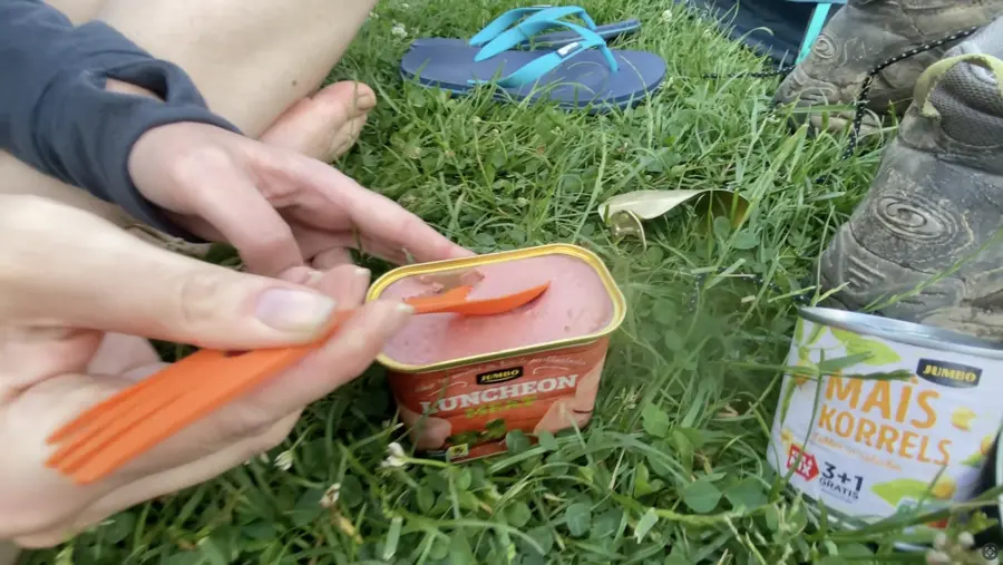 Peak trail food.
Our main dish was a hefty portion of instant noodles. No desert unfortunately.
Day 4 - Mheer to Maastricht - 28K
- Distance: 28KM
- Elevation: 596m
At the start of the fourth day, we ran into a hikers-couple that we had spotted a few times on the trail during the second day. In fact, there were loads of hikers we hop-skipped on the second day, that we didn’t meet at all on the third day. We knew they were all hiking the DMT, but none of them were camping (most hikers were of the respectable age where b&b’s are most appropriate), so we concluded that they were a bunch of fair-weather hikers and that they must've decided not to hike through day 3’s storm. A wise decision.
 At the summit of the D'n Observant (157 m)
The couple we met on day 4 however did continue the DMT and we met them several times throughout the day. Great fun. The route was mostly dry this day, and we passed some beautiful sights. We saw some of the only high growth fruit trees of the Netherlands, we crossed the river Maas by ferry in Eijsden, we did our final ascent (D’n Observant) and passed the famous marl (mergel) quarry of Maastricht.
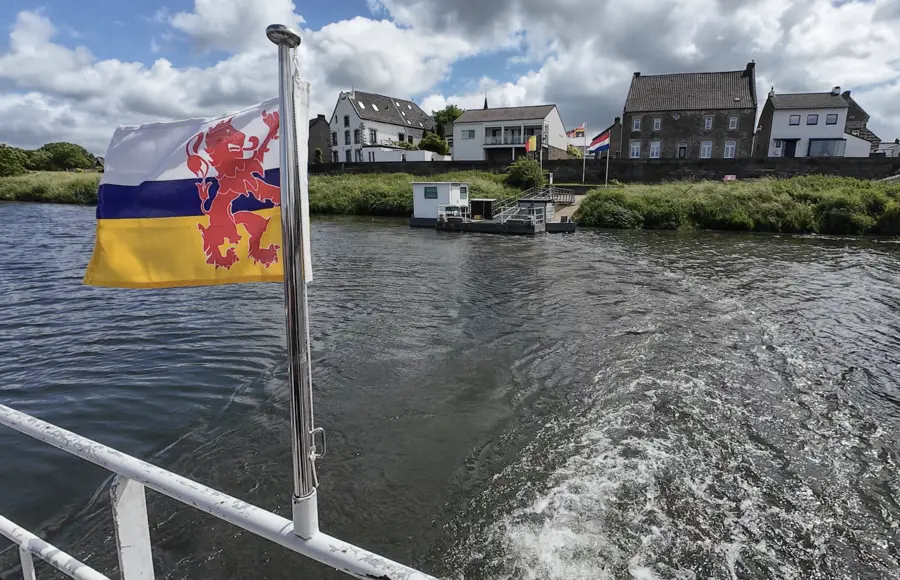 Ferry in Eijsden
Then, finally, we could see our end-goal appear: the city of Maastricht. We put our hiking sticks away and tried to act like civilians. The stinky wet socks that were dangling on the outside of my backpack were removed from sight, but I still felt somewhat of a strange attraction, walking through the center of town like this.
A few meters before we reached our destination (frituur zaak), we ran into our hiking couple partners and they invited us for a beer. We had a wonderful chat with them and learned more about their lives and their hiking history (the DMT was their training for the Wandelvierdaagse of Nijmegen).
After they had left, we continued to the frituur zaak, where they made handmade deep fried snacks and excellent fries. As a ceremonious ending to the hike, it then started to rain again, so we drank watery beers and finished our soggy fries before taking the train back home.
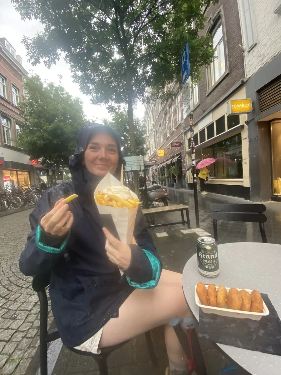 Soggy fries & watery beer
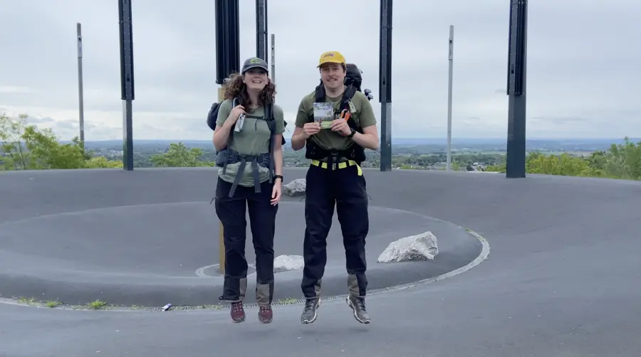
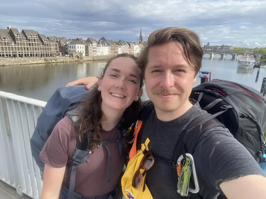 Looking out over Maastricht